Mount Etna Facts: Height, Location, Craters
Etna doesn't have a fixed height the way most mountains do. Every eruption reshapes the summit by a few meters, and that alone tells you most of what you need to know about this volcano.
A city view or the lower craters may be enough. If you want to go further, compare the actual route, starting point and included transport before choosing a paid outing.
At a glance: Etna’s summit changes over time. Advertised tour altitude is not a promise of the highest point; lower lava fields, upper craters and the north-side gorge show different features.
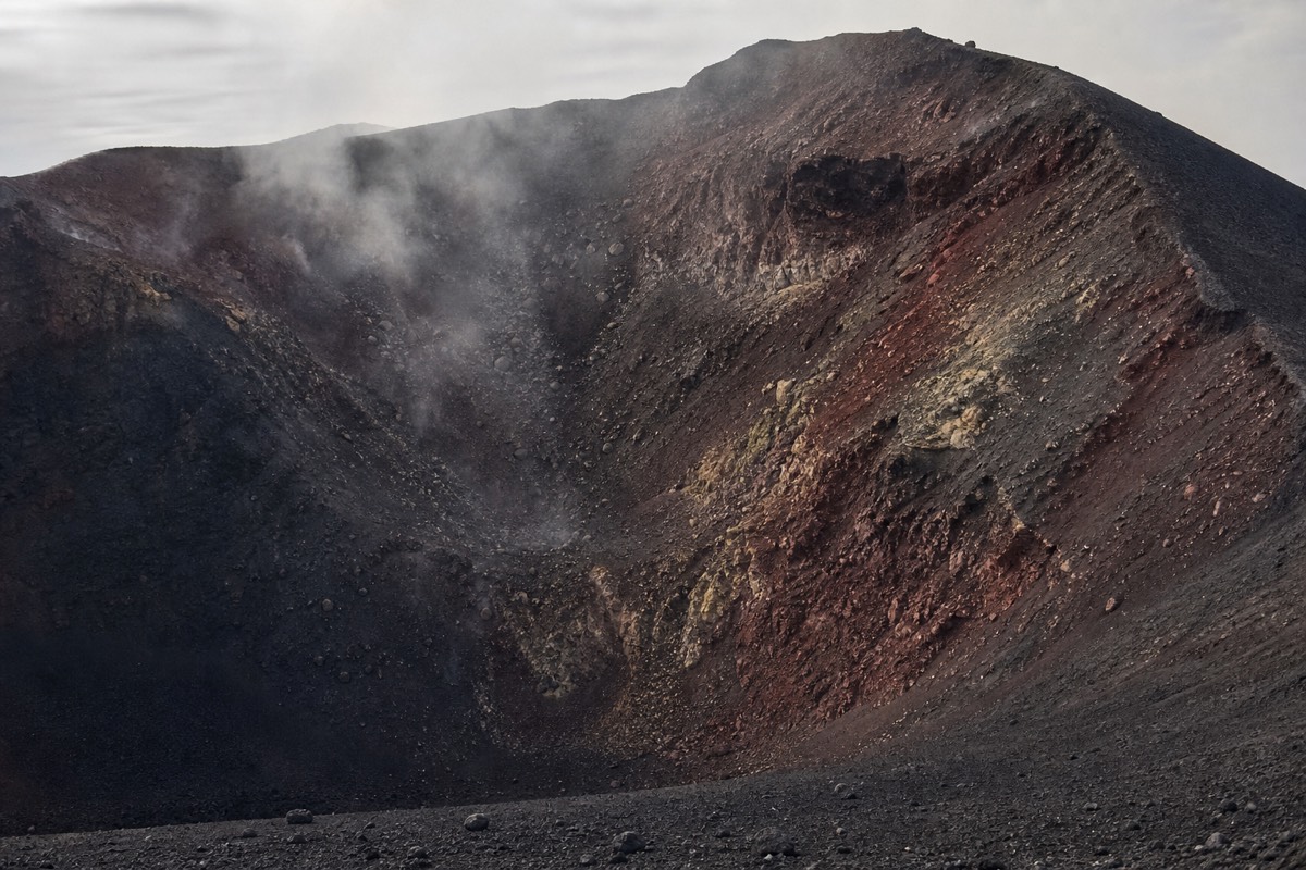
Etna next to other well-known volcanoes
Approximate summit elevations from general public reference sources (Wikipedia); Etna's own height shifts after eruptions, so treat it as approximate.
How tall is Mount Etna, really?
Around 3,350 meters, and that number changes after eruptions build up or collapse parts of the summit. Etna is commonly cited around 3,300 to 3,400 meters depending on recent activity, making it Europe's tallest active volcano, per Wikipedia's background page on the mountain.
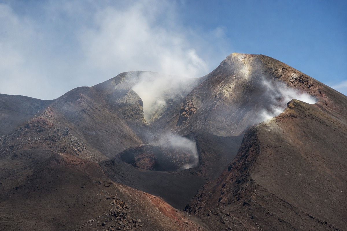
Most mountains get a single, fixed height because erosion works slowly and nobody is actively rebuilding the peak. Etna is the opposite case: a lava fountain or a summit collapse can shift the highest point by several meters in the space of one eruption. This is not a minor technicality, it is one of the more interesting facts about the mountain, and it is worth knowing before you see two different height figures quoted on two different websites and assume one of them is wrong.
The mountain’s measured highest point and a tour’s advertised maximum elevation are different things. Some products offer summit-crater routes when access permits, while others stop around 2,900–3,000m. Confirm the current route; no advertised altitude is guaranteed.
Where exactly is Mount Etna located?
On the eastern coast of Sicily, directly inland from Catania, which sits close enough to the base that the volcano dominates the city's skyline. Taormina, the other common base town, sits roughly 60km to the northeast.
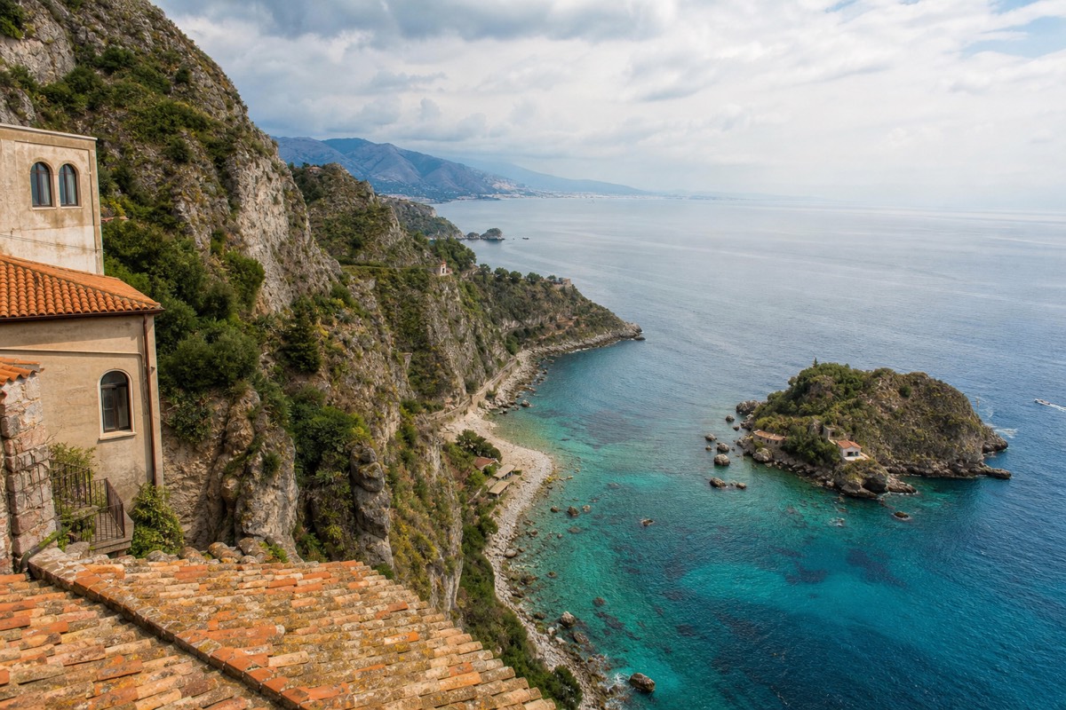
Etna's footprint is large enough to have its own microclimates and multiple distinct access sides, which is part of why "which side of Etna should I visit" is its own separate question from "how do I get to Etna" (covered on the homepage's own FAQ, not repeated here). Catania Fontanarossa Airport is the main international gateway, close enough to the southern base at Nicolosi and Rifugio Sapienza that a tour can realistically start the same morning a flight lands.
What are Etna's summit craters?
Four named craters make up the current summit area: Voragine, Bocca Nuova, the Northeast Crater, and the Southeast Crater, each with its own eruptive history and level of current activity at any given time. They sit close together but are genuinely distinct features, not one single opening.
| Crater | Notable for |
|---|---|
| Voragine | One of the two central craters, historically associated with some of Etna's more dramatic paroxysmal events |
| Bocca Nuova | The other central crater, formed relatively recently in geological terms and frequently active |
| Northeast Crater | For a period the summit's highest point, shifting with successive eruptions |
| Southeast Crater | Among the youngest and, in recent years, one of the most consistently active of the four |
The guided summit trek is the route most likely to bring you close to this crater cluster, with guides pointing out Voragine and Bocca Nuova specifically as part of the walk near the Central Craters area, conditions permitting. The cable car and 4x4 jeep tour reaches a similar vantage point via mechanized transport rather than a hiking approach.
Why is Etna called Europe's most active volcano?
Because it produces observable activity, ranging from steady degassing to strombolian bursts to occasional larger eruptions, more consistently than any other volcano on the continent, and has done so for a documented record stretching back centuries.
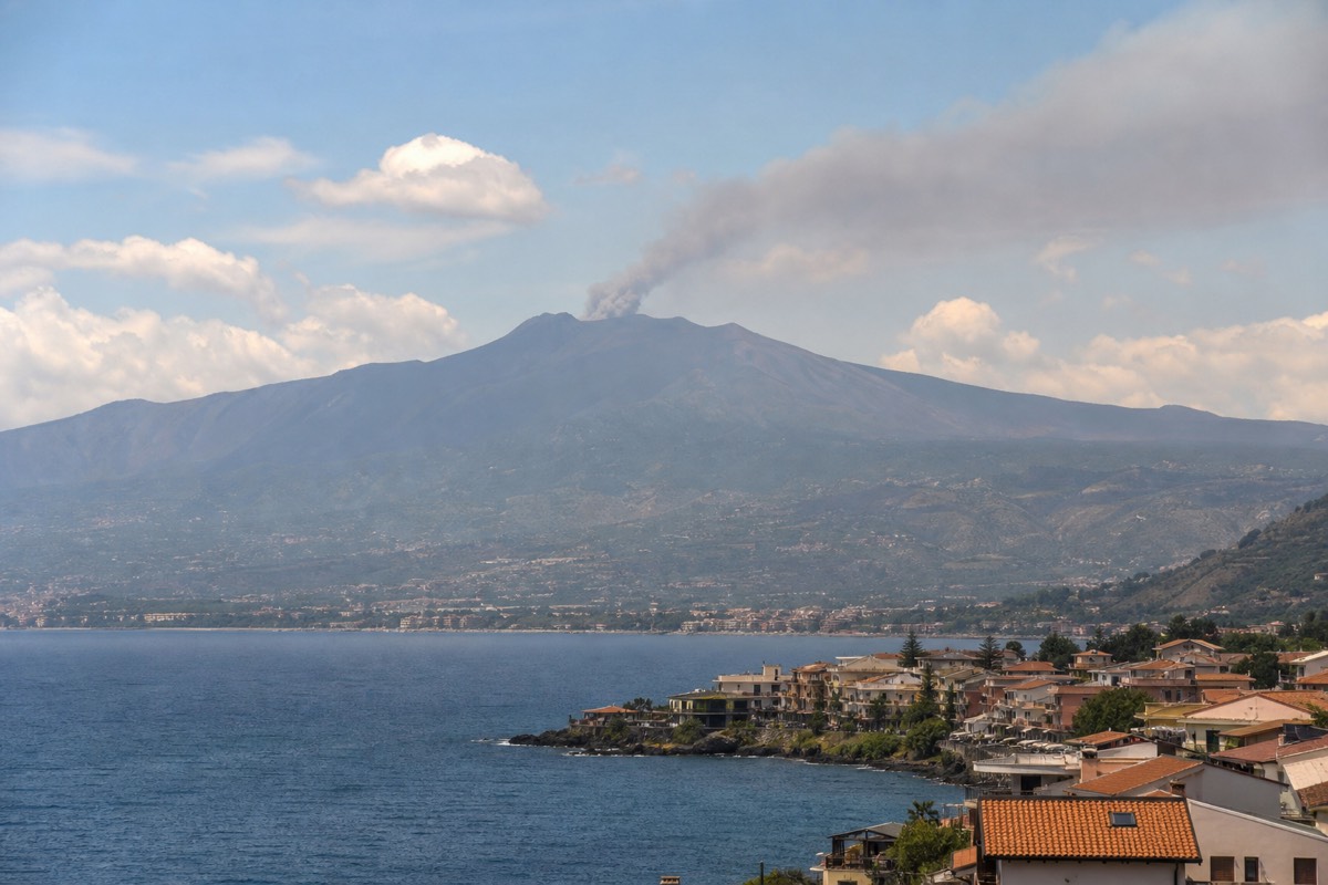
"Most active" is a claim about frequency and persistence, not necessarily about scale. Other volcanoes globally have produced larger single eruptions; what sets Etna apart in a European context is how rarely it goes fully quiet for an extended stretch. That persistence is exactly why it draws volcanologists from around the world and why the monitoring infrastructure here, discussed in full in the volcanic activity guide, is as dense as it is.
Why did UNESCO list Etna as a World Heritage Site?
UNESCO inscribed Mount Etna as a World Heritage Site in 2013, citing its exceptional and ongoing geological activity as one of the world's best-documented and most continuously active volcanoes, according to the official listing at whc.unesco.org, site id 1427.
The designation recognizes the mountain's scientific value as much as its scenery: a long, closely observed eruptive record next to a populated area gives researchers a working laboratory that few other active volcanoes offer at this level of accessibility. For visitors, the practical upshot is that the protected status covers a genuinely significant chunk of the upper mountain, which is part of why access above certain elevations runs through licensed guides and regulated routes rather than open hiking.
What's the basic geology behind Etna's activity?
Etna sits above a complex zone where the African and Eurasian tectonic plates interact, feeding a magma system that produces both the steady summit degassing visitors see most days and the periodic larger eruptions that make international news.
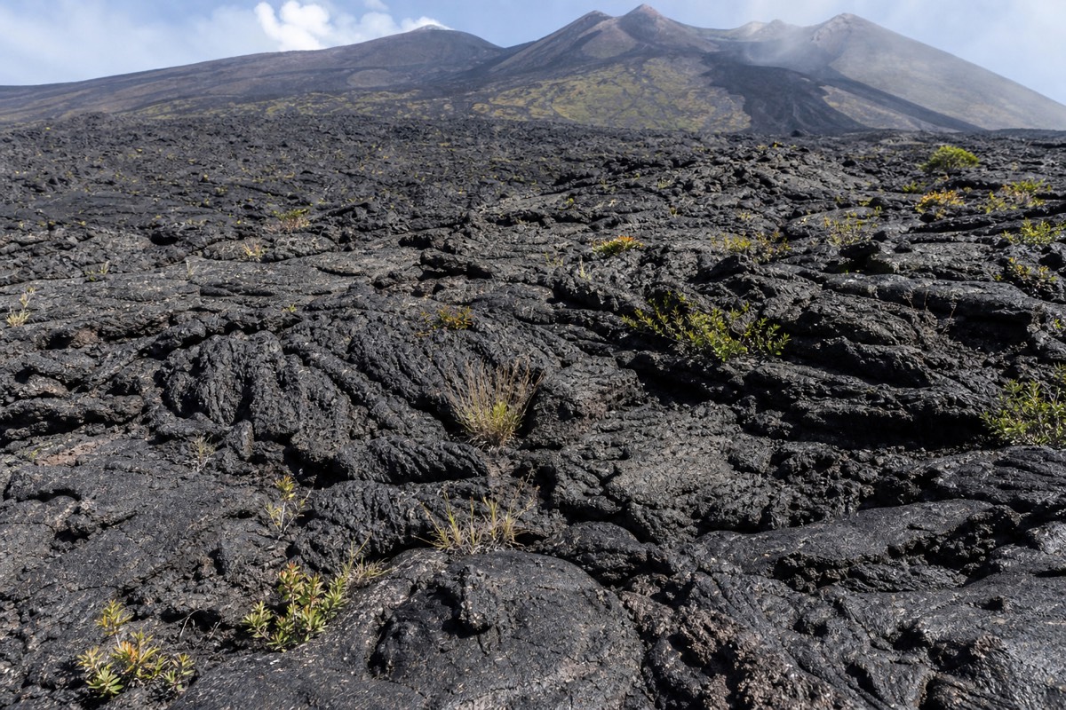
Unlike a single-vent volcano, Etna behaves more like a cluster of overlapping systems: the four summit craters each have somewhat independent behavior, and eruptions can also break out from fissures on the volcano's flanks rather than the summit at all, a pattern that has shaped the black lava fields visible across the lower slopes today. This layered structure is a large part of why activity levels vary so much from one crater to another even within the same week, and why a guide's read of "what's happening today" genuinely differs from a static description written months earlier.
How does Etna compare to other well-known volcanoes?
Etna's combination of height, documented frequency of activity, and proximity to a large population is unusual even among famous volcanoes worldwide, most of which are either taller and more remote, or more populated but far less frequently active.
This is the comparison that photos alone don't communicate well: a lot of visitors arrive expecting a single dramatic cone and instead find a sprawling massif with multiple access roads, several distinct hiking zones, and a summit area that has visibly changed shape even within recent years. That scale is also why a single day rarely covers "all of Etna." Tours understandably specialize, some on the southern cable car and craters route, others on the wine country of the eastern slopes, others on the northern pine forests toward Alcantara. For a broader sense of how the tours split up the mountain, the full tour comparison lays out which route covers which part of Etna.
How old is Mount Etna, and what is it called locally?
Etna's volcanic activity is estimated by geologists to span several hundred thousand years, making it far older than any town or road built around its base. Locally, Sicilians often call it Mongibello, or simply "a Muntagna," Sicilian for "the Mountain," a name that says something about how central the volcano is to daily life on this side of the island.
Mongibello combines the Latin "mons" with the Arabic "jebel," both words for mountain, a small linguistic fossil of Sicily's layered history under different rulers. Locals rarely reach for the formal name Etna in casual conversation; "a Muntagna" does the job, spoken with the kind of familiarity reserved for something that has always been there and always will be, in the geological sense at least. Full background on the volcano's naming and history sits on Wikipedia's Mount Etna page.
What's the difference between the national park and the UNESCO site?
Parco dell'Etna is the Italian regional park covering a large area of the volcano's slopes, including forests, trails, and access roads, while the UNESCO World Heritage listing covers a more specific summit zone recognized for its exceptional and ongoing geological activity.
| Parco dell'Etna | UNESCO World Heritage Site | |
|---|---|---|
| Scope | Broad regional park covering much of the mountain's slopes and access areas | A more specific summit zone, inscribed 2013, id 1427 |
| Purpose | Environmental protection and management of the wider mountain, including forests and trails | Recognition of the summit area's outstanding, continuously documented volcanic activity |
| Effect for visitors | Regulates trails, facilities, and land use across the broader park | Underpins why access above certain altitudes runs through licensed guides and set routes |
The two designations work together rather than compete: the park manages the mountain as a place people live near, farm, and hike; the UNESCO listing recognizes what happens at its summit as scientifically significant on a global scale. Full detail sits at the official UNESCO listing page.
Which tour gets you closest to which part of Etna?
Each tour on this site focuses on a different piece of the mountain, from the active summit craters to the wine-growing eastern slopes to the northern pine forests, so the right choice depends on which of Etna's many faces you actually want to see.
| Tour | Part of Etna it covers |
|---|---|
| Guided summit trek | Central Craters area, up to 3,000m or 3,400m, southern approach |
| Cable car and 4x4 jeep tour | Same Central Craters area via mechanized ascent rather than hiking |
| Etna and Alcantara Gorges tour | Northern slope: Ragabo pine forest, Sartorius Craters, Grotta dei Ladroni lava tunnel |
Only the northern-slope tour reaches the Sartorius Craters and the pine forest side of the mountain, which is one reason it pairs so naturally with a full day rather than a half-day booking. For pricing across all six, how much a Mount Etna tour costs lays it out directly.
How has Etna's activity shaped the landscape people actually visit?
Centuries of lava flows have built the black volcanic terrain visitors walk across today, layered with ash deposits that, over time, weather into some of the fertile soil that supports Etna's vineyards and orchards lower on the slopes, a genuine contrast between destructive and productive volcanic forces on the same mountain.
Lava fronts from specific years, the 2001 flow near the Valle del Bove and the 2002 flow on the northern slope among them, remain visible and walkable features on several tour routes, not abstract history but literal ground underfoot. Older flows, cooled and broken down over centuries, have become the mineral-rich soil that the region's wine country depends on, covered separately in Mount Etna wine region: Etna DOC. That same volcanic soil, further down the slopes, also supports pistachio and citrus growing, part of why the region's produce carries a reputation beyond just the wine.
A few common facts people get wrong about Etna
| Common claim | More accurate version |
|---|---|
| Etna has one single crater at the top | It has four distinct named summit craters, plus numerous historical flank vents lower on the slopes |
| Etna's height is a fixed, agreed number | The summit height shifts with eruptions and is best treated as an approximate figure, around 3,350m |
| Etna is dangerous to visit at any time | Standard guided routes operate safely under normal conditions most of the year; see the full activity guide for specifics |
| Etna is just a backdrop for Catania | It's a UNESCO World Heritage Site in its own right, with a regional park, working vineyards, and year-round tourism independent of the city |
For the deeper dive into the activity-specific claims in that table, particularly around safety and current status, is Mount Etna erupting covers the full picture.
Is Etna the same volcano as Stromboli or Vulcano?
No. Etna sits on Sicily itself, above Catania, while Stromboli and Vulcano are separate volcanoes on their own small islands in the Aeolian archipelago, off Sicily's northern coast. All three are genuinely active and often mentioned together in the same breath, which is where the confusion usually starts.
Stromboli is famous for its near-constant, small, rhythmic explosions, visible from boats at night and different in character from Etna's broader mix of degassing, strombolian bursts, and occasional larger episodes. Vulcano, the island that lent its name to the general English word "volcano," is known more for its fumaroles and mud baths than for frequent eruptions in recent history. None of the six tours on this site visit the Aeolian Islands; all of them focus specifically on Etna and its immediate surroundings, including the Alcantara Gorges to the north.
If a search result or a travel forum post mixes up facts between these three, that's usually the reason. Etna, Stromboli, and Vulcano share a region and a general reputation for activity, not a location, a monitoring history, or a visitor experience.
How was Etna formed, in plain terms?
Etna sits above a complex tectonic zone where geological processes have fed a long-running magma system for several hundred thousand years, building the mountain up in layers through repeated eruptions rather than a single dramatic event, the way most large volcanoes take shape over geological time.
| Eruption style | What it looks like | How it has shaped Etna |
|---|---|---|
| Effusive (lava flows) | Slow-moving lava spreading across the surface rather than exploding upward | Built up the broad, layered shape of the mountain over time and created the black lava fields visible on several tour routes today |
| Strombolian | Rhythmic, relatively small explosions of gas and lava fragments at the summit | The most frequent style at Etna's summit craters, visible on many ordinary days |
| Paroxysmal/fountaining | Short, intense bursts of fountaining lava, sometimes hundreds of meters high | Periodically reshapes the summit craters and can temporarily raise the mountain's highest point |
This layered building process is also why Etna looks so different depending on which side you approach from. The southern slope near Rifugio Sapienza shows relatively recent, starkly black lava fields; the northern slope toward the Ragabo pine forest has had more time for vegetation to establish over older flows, which is part of what makes the northern-slope tour visually distinct from the southern routes.
Why do people confuse Etna's height with the elevation tourists reach?
The mountain’s measured highest point and a tour’s advertised maximum elevation are different things. Some products offer summit-crater routes when access permits, while others stop around 2,900–3,000m. Confirm the current route; no advertised altitude is guaranteed.
A visitor who books the guided summit trek and reaches the 3,400m Central Craters approach on a good day has come remarkably close to the true summit, closer than almost any other standard tourist route on the mountain. On a day when conditions cap the group at 3,000m instead, or when a cable car and 4x4 tour tops out around 2,900m, the visitor has still seen a genuinely dramatic slice of the volcano, just not its literal highest point. Neither outcome should be read as a disappointment; both represent real, guided access to one of the most active and closely studied volcanic systems on the planet, which is the actual draw for most people booking a tour here in the first place.
What's the best way to see as much of Etna's geology as possible in one visit?
No single tour covers every side of the mountain, so combining a summit-focused route with a stop at a lower-elevation feature, an old lava flow, the Silvestri Craters, or the Alcantara Gorges to the north, gives a more complete picture of how varied Etna's landscape actually is beyond the crater rim itself.
Visitors with only one day tend to prioritize the summit area, understandably, since that's where the most dramatic and active features sit. Those with two days or more get more value from pairing a summit-area tour with the northern-slope Alcantara Gorges tour, since the two routes show genuinely different faces of the same volcano: one built by ongoing summit activity, the other shaped by older flows now supporting pine forest and, further down, the separate but related basalt formations of the Alcantara river gorge. For trip-planning help beyond Etna itself, best day trips from Catania and best day trips from Taormina cover how to build a fuller Sicily itinerary around a volcano visit.
Even a single well-chosen tour tends to touch more of this variety than first-time visitors expect. The northern-slope tour alone moves through pine forest, an old lava tunnel, and a river gorge in one day, while the summit routes combine the volcano's most active zone with sweeping views back down over the towns and coastline the mountain has shaped over its long history.
Quick facts at a glance
| Fact | Detail |
|---|---|
| Location | Eastern Sicily, above Catania |
| Height | Around 3,350m, changes with eruptions |
| Status | Europe's tallest and most active volcano |
| Summit craters | Voragine, Bocca Nuova, Northeast Crater, Southeast Crater |
| UNESCO status | World Heritage Site since 2013, id 1427 |
| Local names | Mongibello, "a Muntagna" |
| Nearest major city | Catania |